
 |
Farndon Village Buildings - Village Inns and Public Houses
|
The Nag's Head
|
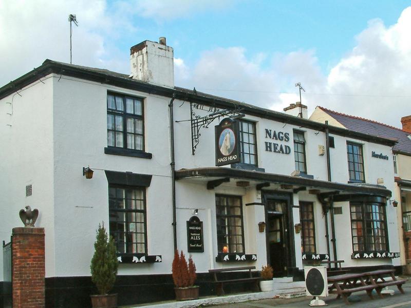 The Nag's Head
|
'The Masons Arms will lose its charms, The Raven it will fly, We'll turn the Greyhound upside down, And drink the Nags Head dry'. |
|
The Nag's Head
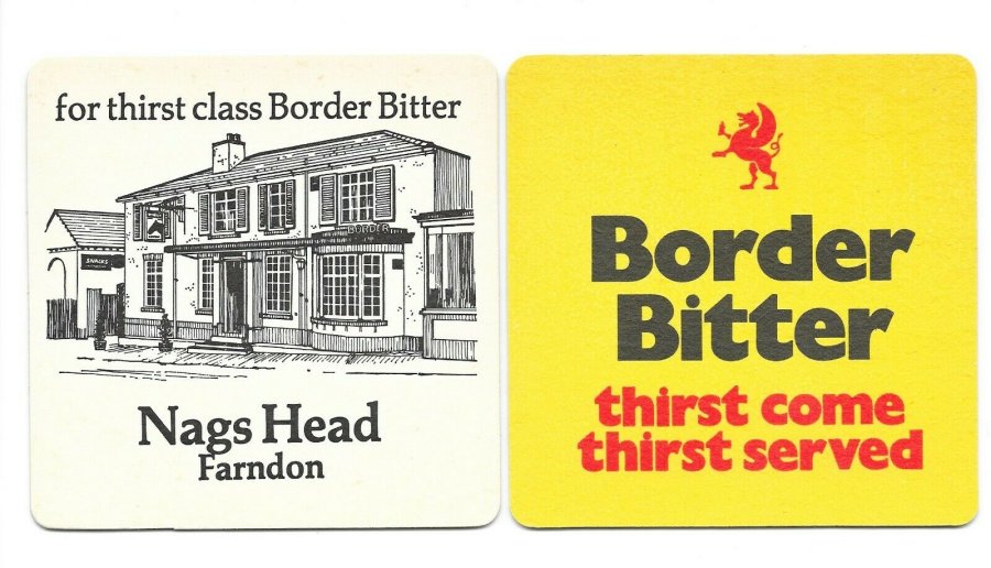
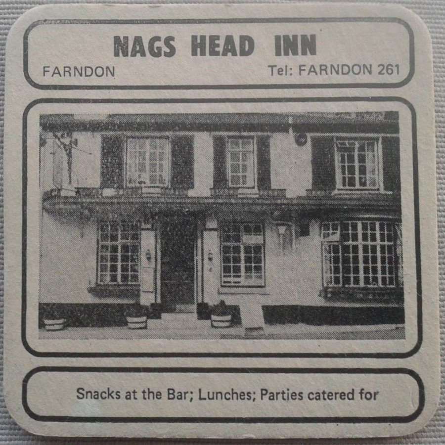
So runs a local rhyme of the nineteenth century, foretelling the fates of the four public houses in the centre of Farndon. The Masons Arms lost its 'charms' and its licence about 1928; the original building of the Raven 'flew', while the Greyhound was entirely destroyed by fire on 12 January 1905. The Nags Head may not have been the only public house to be drunk dry in the last war, but it was forced to close on more than one occasion during licensing hours as the dray had not been able to deliver.
It is likely that the Nag's Head Inn had a long history stretching back centuries, as a coaching inn, but also as a farmhouse probably licenced to sell ale well before the late eighteenth century building that stood until its demolition in 2015. The land behind the Inn was the 'Townfield' where village farmers tenanted field strips, an arrangement medieval in origin. Farmers living on the High Street (Bridge Street) had a share in this land. Tenants of the Nag's Head were also farming this land well into the late nineteenth century, although by this time the medieval arrangement had been modernised by the enclosure movement. This transition can been seen on the Map of 1735.
Ownership of the land had long been in the hands of the Barnston Estate, and they are shown as owners in the tithe survey of 1840 shown below. A leaded light over the front door depicted a nag's head in white glass with a red surround (a feature on an early Barnston crest). Tenants of Barnston land and property came to the Nag's once a year to pay their rents, a practice which continued for many years even after its sale to Border Brewery in 1948.
The cellar was hewn out of solid sandstone, and there was also access to a well. A long barn stood to left side of the gateway while in the rear plot there were three stables with seven stalls, harking back to its days as a coaching inn. They remained in situ until 1970 when they were dismantled, and the oak used to make the window boxes which later adorned front of the Inn.
Various records (*) reveal amongst former licensees of the Nags Head were Charles Wright (1827), William Parker (1840) Daniel Garner (1850), John Posnett (1864), and George P. Posnett (1874). From 1875 until 1931, when it was still a free house, the tenants were John Jones and his family. The first John Jones, (who was there until 1918), would not admit women, but as early as 1914 was advertising 'every accommodation for cyclists and motorists'.
[* Licence records, Cheshire trade directories, tithe award, census records, newspapers]
Into this century, the landlady of the Nags Head was Chris Nevitt in 2002, followed by John and Toni Mellor. However, after a family tragedy, the Mellors left Farndon for Upton, and the Nag's Head closed for the final time.
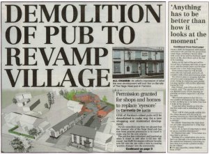
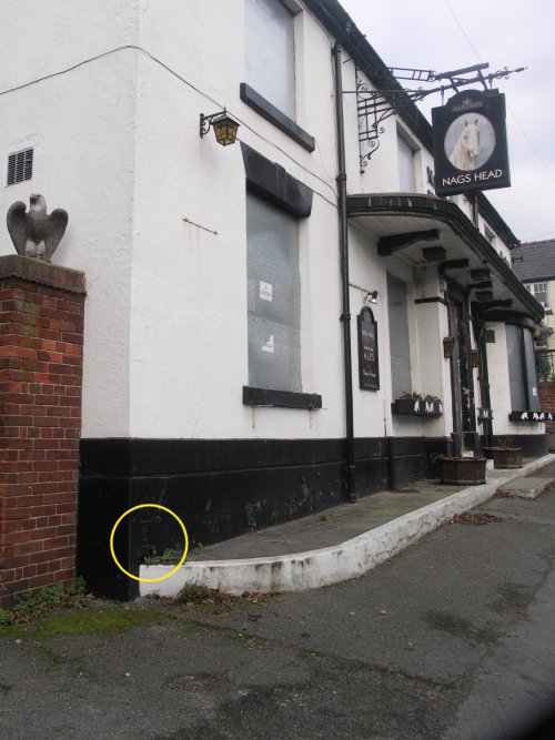
The Inn looked a forlorn sight with steel boards over the windows, until a developer took the site on. It was originally intended that the frontage of the inn be retained, especially as it was historically integral in appearance within the High Street conservation area.
This author was also contacted by the archaeologist overseeing the intitial assessment for further information as to its history.
However, the developer later stated that it wasn't structurally possible to retain the frontage and it was demolished.
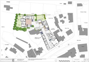
Rofft Development 2000 of Trevalyn, Wrexham,, working to designs by Tweed Nuttall Warburton of Chester, began the project, undertaking to create 'a quality source of three mews properties to the rear, renovations to the two barns, demolition of the Nag's Head, and reconstructing apartments and street level shops and offices.
New businesses quickly moved in to the former Nag's Head site (Lewis's Coffee House) and the redeveloped long barn (The Beauty Studio and Velvet Peony). |
|
A Chronology of Sources
|
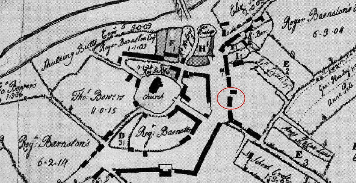 1735 map
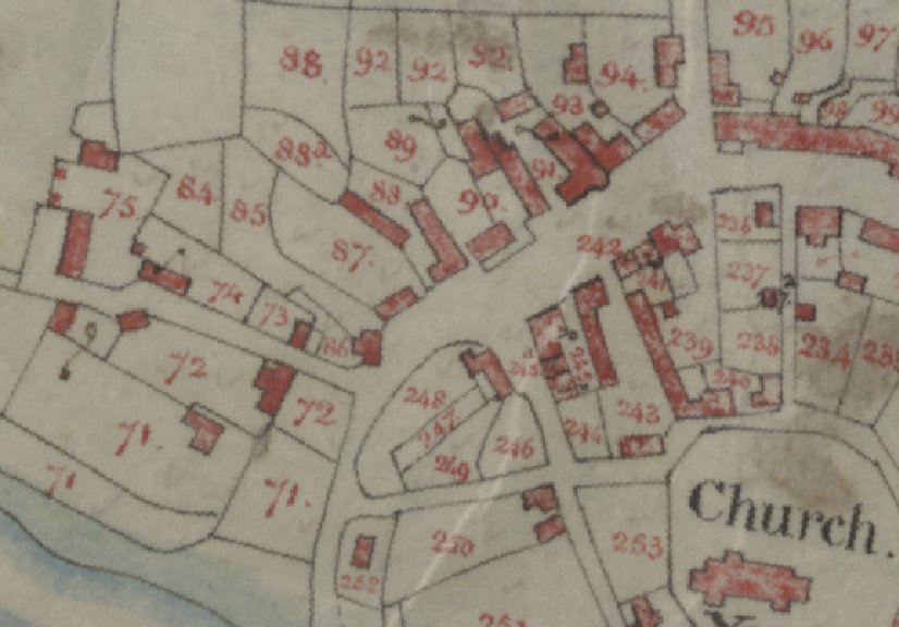 Tithe Map 1840 plot 91
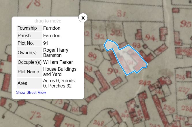 Tithe Map 1840 plot
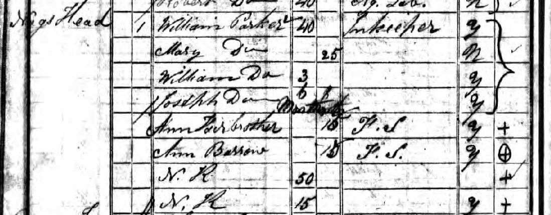 Confirmed by the 1841 Census - William Parker, Innkeeper
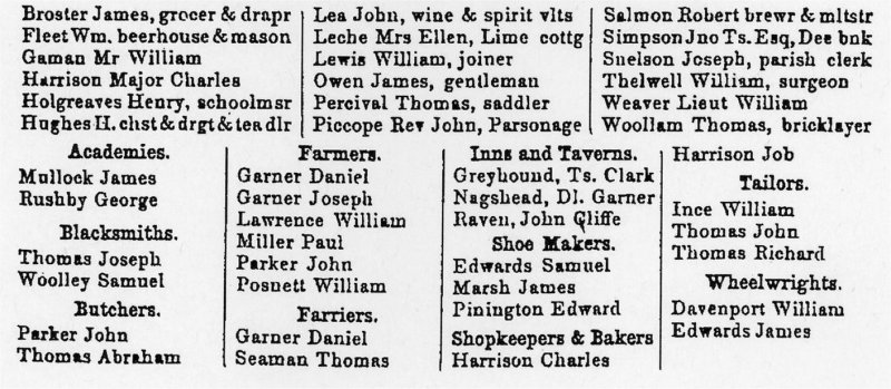 Bagshaws directory of 1850
D.I. Garner, Innkeeper
 1851 Census - Daniel Garner, Innkeeper
 1861 Census - George Posnett, Publican and farmer
 1871 Census - George Posnett is still running the Nags Head as well as the farm, but he has now lost his wife.
  1881 Census - John Jones - Innkeeper
 1891 Census - John Jones, Licenced Pub Victualler
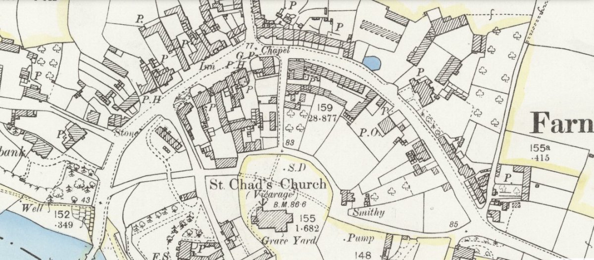 Map of 1897
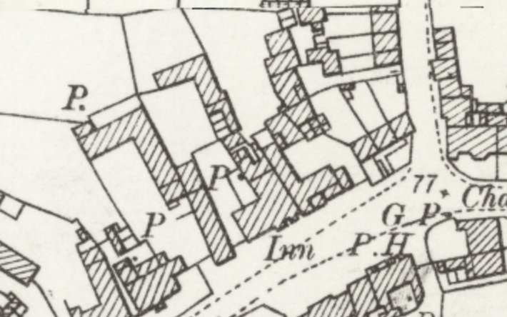 Map of 1897 Nag's Head Inn close-up
 1901 Census - John Jones, Innkeeper and Farmer
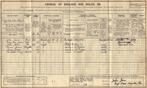 1911 Census - John Jones, Innkeeper and Farmer
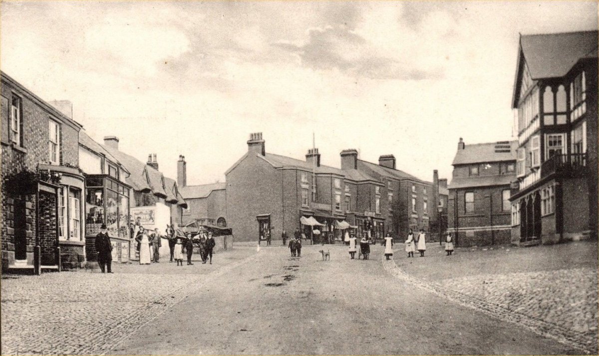 c.1905 Farndon High Street (then known as Bridge Street)
 The 1939 Census - Hugh Lloyd - Publican
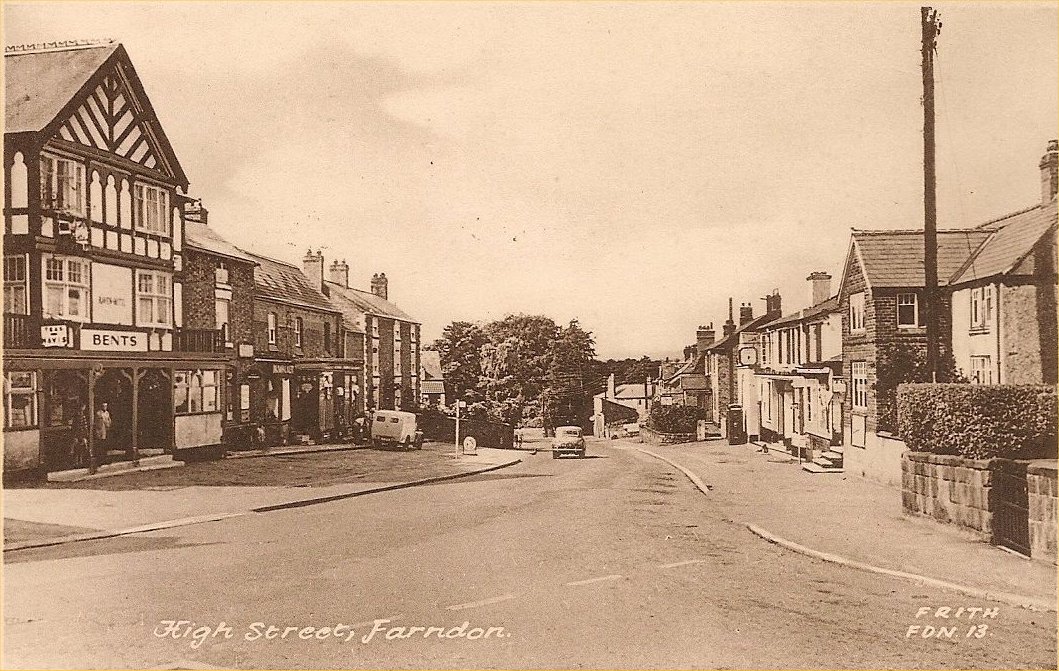 Farndon High Street in the 1950s
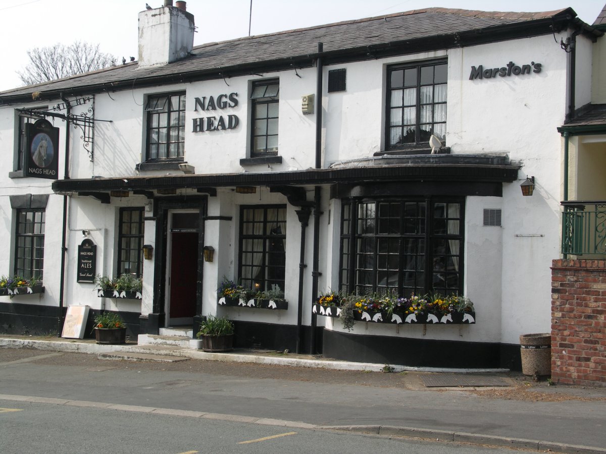
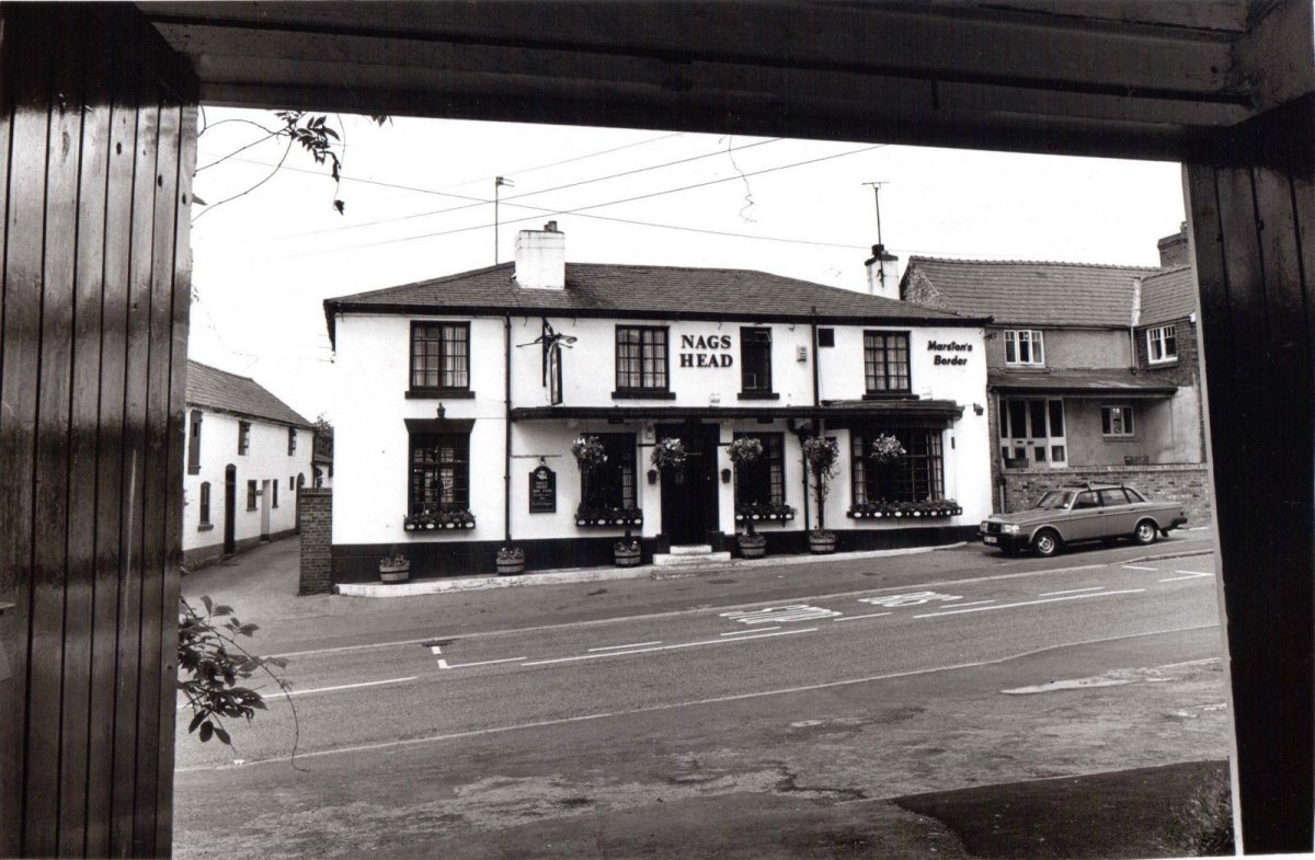
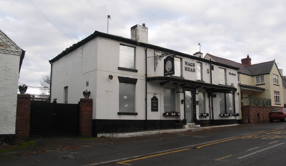 Nag's Head pictured in 2007, shortly after closure
click to enlarge |
click to enlarge |
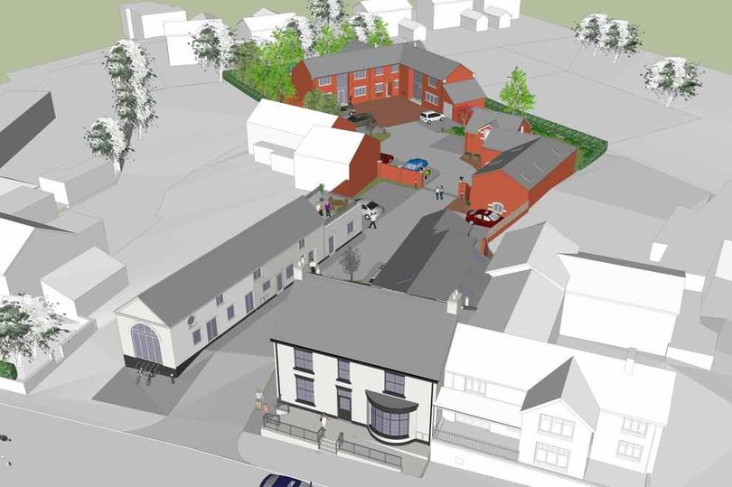 Nags Head Development
 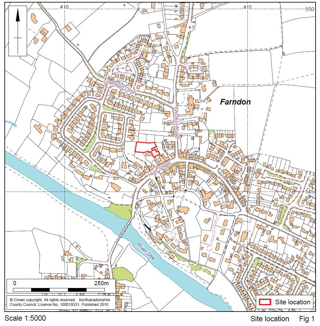 Archaeological site investigation
 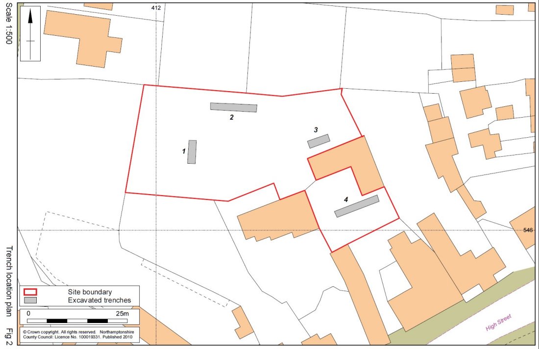 Archaeological site investigation - four trenches excavated
 Download the excavation report here
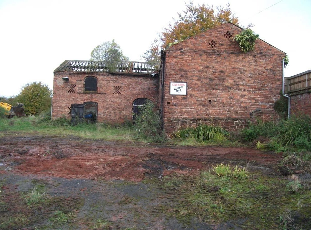 The old barn to the rear of the Nag's Head
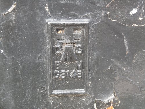
The flush bracket is another way of Ordnance Survey accurately defining a height above sea level and used for the more important level control points. Most are on trig pillars – although not all – while some, like this example, are set into walls and buildings (‘flush’ with the building). |
|
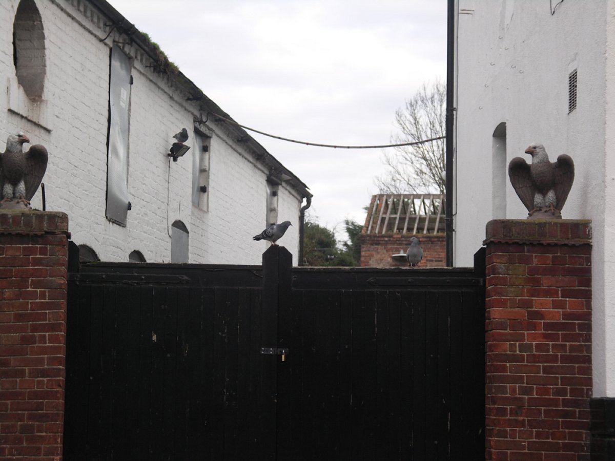 The old barn to the rear of the Nag's Head
 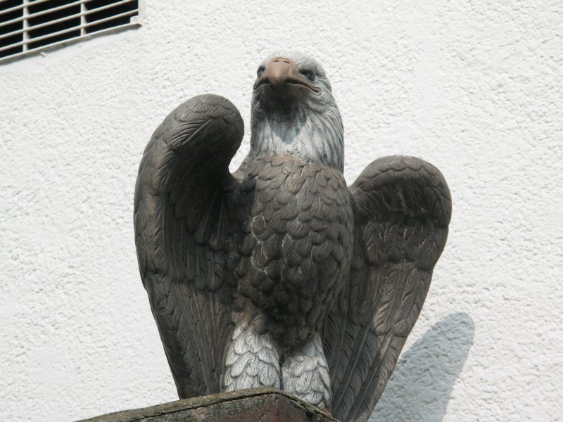 The old barn to the rear of the Nag's Head
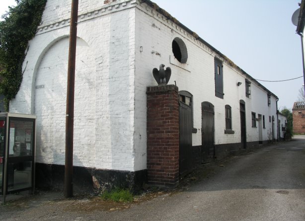
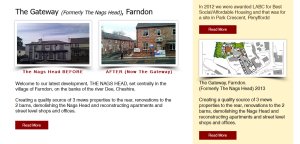 Rofft Developments 2000
|
The New Development
|
|
The New Businesses
|
|
|
Redevelopment Complete 2016
|
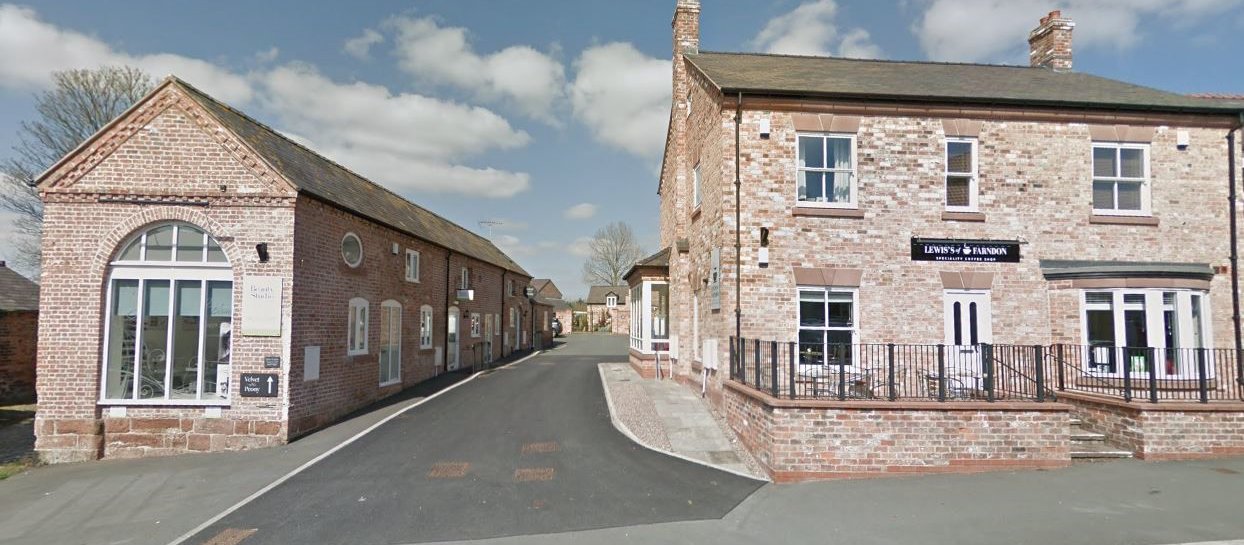 Redevelopment Complete 2016
Return to Village Buildings page
www.roydenhistory.co.uk
Visit the Royden History Index Page listing web sites designed and maintained by Mike Royden
No pages may be reproduced without permission
copyright Mike Royden
All rights reserved